What is Maps for Excel?
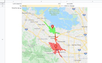
Bring mapping and geocoding to Microsoft Excel: insert heatmap, administrative boundaries, shapes and geo-objects, place photos and street views, download GeoJSON and KML, get address components, find places with details, build routes, show isolines.


